-
October 25, 2022
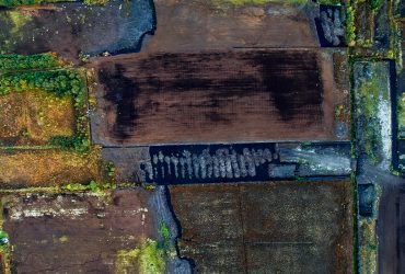
TOBIN was appointed to provide Planning and Environmental services for the proposed development of the Bord na Móna Eco Energy Park. This project will incorporate 200 MW+ of low to zero-carbon electricity generation from sources which may include win …
-
October 20, 2022
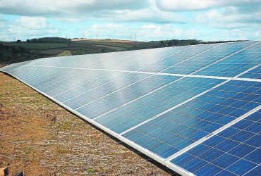
TOBIN was appointed to secure planning permission for the Trascan Solar Farm. The proposed development consists of a 60-megawatt (MW) solar farm comprising of photovoltaic panels on ground-mounted frames and a 110 kiloVolt (kV) substation. During pre …
-
October 20, 2022
The project consisted of 24 No. wind turbines, a substation, BESS and a proposed amenity park. From 2016 to 2019, the team undertook a range of environmental and engineering assessments and surveys within and surrounding the boundary of the proposed …
-
November 4, 2021
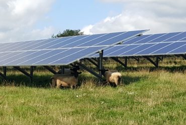
Planning permission was granted for the 4MW Goresbridge Solar Farm, Kilkenny in 2016. TOBIN managed the planning and environmental assessments for the application, including ecological, landscape, hydrogeological and traffic assessments.
-
October 5, 2021
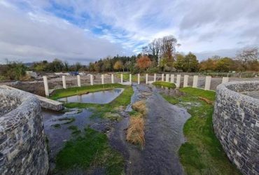
The town of Templemore has a long history of flooding as it lies on the Mall River which drains a catchment area of 22km2 that includes parts of the Kilduff and Devilsbit Mountains, before flowing into the River Suir two kilometres further downstream …
-
July 12, 2021
Client: Irish Water Key Facts: Irish Water is responsible for delivering secure, reliable and sustainable water supplies. Extensive studies have been undertaken to identify and assess supply options. Abstraction of water from Parteen Basin, nearby t …
-
March 24, 2020
Coillte are currently developing a portfolio of Wind Farm Projects across Ireland, and due to this, are proposing to erect Meteorological Masts. These will be temporary 80-meter guyed lattice Meteorological Masts. These are crucial in the development …
-
March 24, 2020
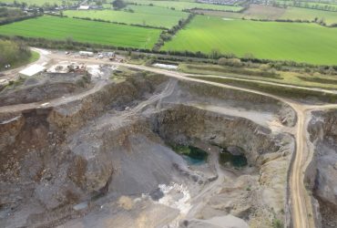
Moyfin Quarry is located in a primarily agricultural area within the townland of Moyfin, Longwood, County Meath. Operational since approximately 1950, Moyfin Quarry is a sand and gravel pit owned and operated by Davin Plant Hire Ltd. The overall sand …
-
March 24, 2020
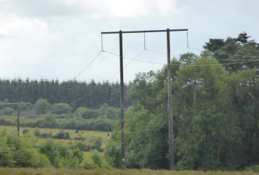
The overall purpose of this essential project is the security of Ireland’s electrical network between Cloon in County Galway to Lanesborough in County Longford (and onwards) now and in the future. Without the refurbishment of this essential network, …

